Conquering Mount Ida
by Stormy on August 12, 2006
It's a party on a mountain! Invite all your friends! This one is going to be awesome!
On my 5th birthday I got a pretty big surprise. We were going back to Mount Ida and we were going to make it all the way up to the top! That was easy to say. I've seen a lot of people try and fail. In fact, I've seen far more failure than successes and that included this very group of people!
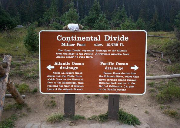
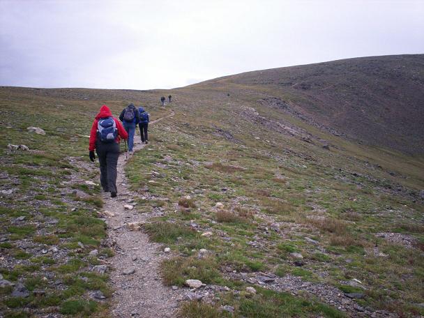
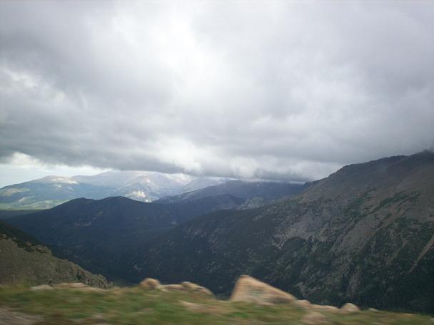
This was the fourth attempt for some of these folks to make it up to the top of Mount Ida. You'd think it's not a big deal for people who hike Fourteeners, but for some reason Mount Ida always manages to put up a fight. Three prior trips were aborted due to bad weather. This morning, though, looked pretty good. It was a bright sunny day with a wind that was perhaps a bit chillier than anyone really wanted. At 8 AM we gathered at Milner Pass in Rocky Mountain National Park to head up to Mount Ida. Our group consisted of two marmots and eight people.
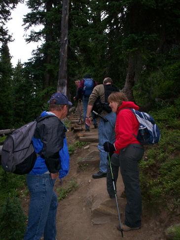
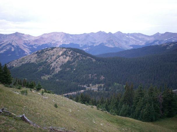
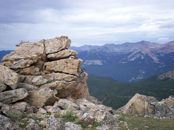
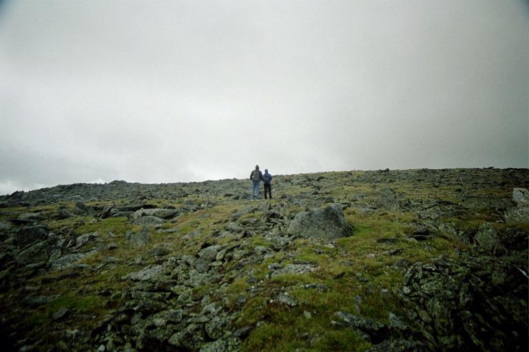
The initial ascent was steep, but not too much of a problem. The trees sheltered us form the wind and the steady pace kept everyone warm. We did not really start to feel the wind until we broke the tree line, although it was still fairly warm. This was the start of the second leg of the journey, along a relatively flat ridge. At my old home, the Rock Rat Rock, we paused to take pictures. I introduced Swindy Marmot to the new residents here, but they did not seem to care much about my having lived here before.
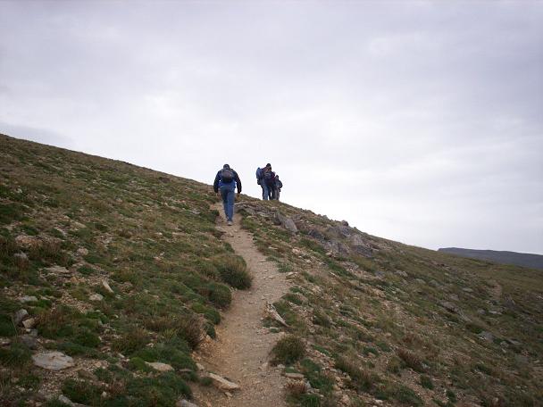
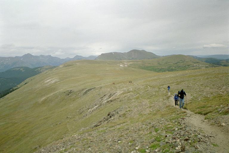
Along the continental divide trail we started to feel the cold and had to dress up. It was time to make a decision. The weather was turning for the worse and we were not sure if it was wise to continue up. A poll of the group decided that they could do it! What can a marmot do?
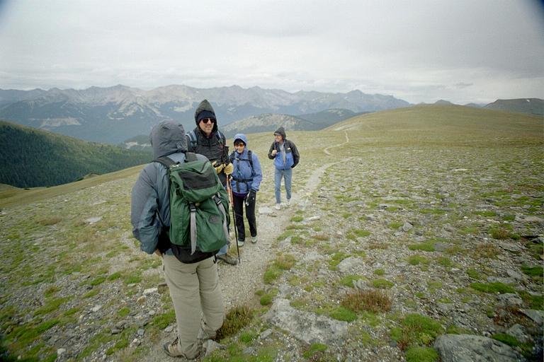
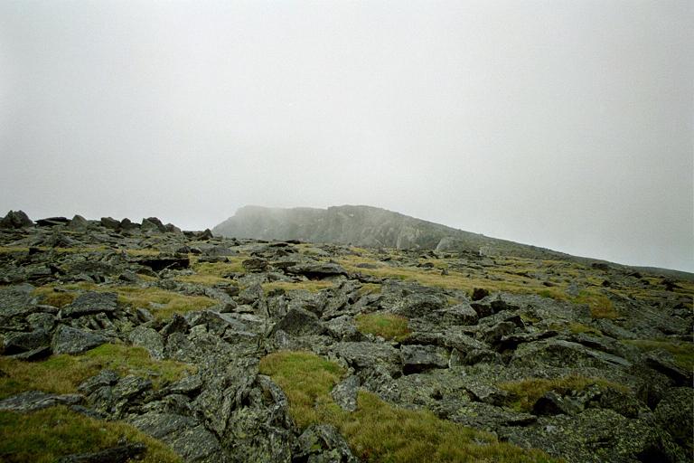
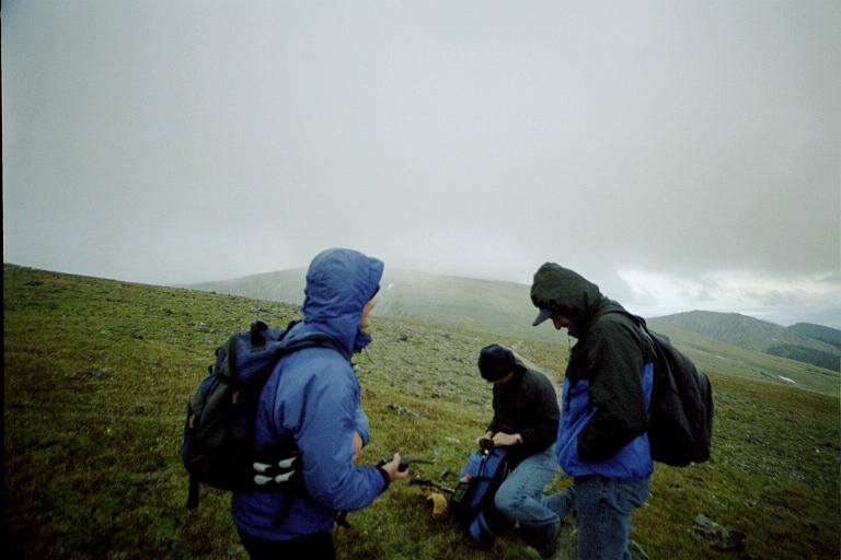
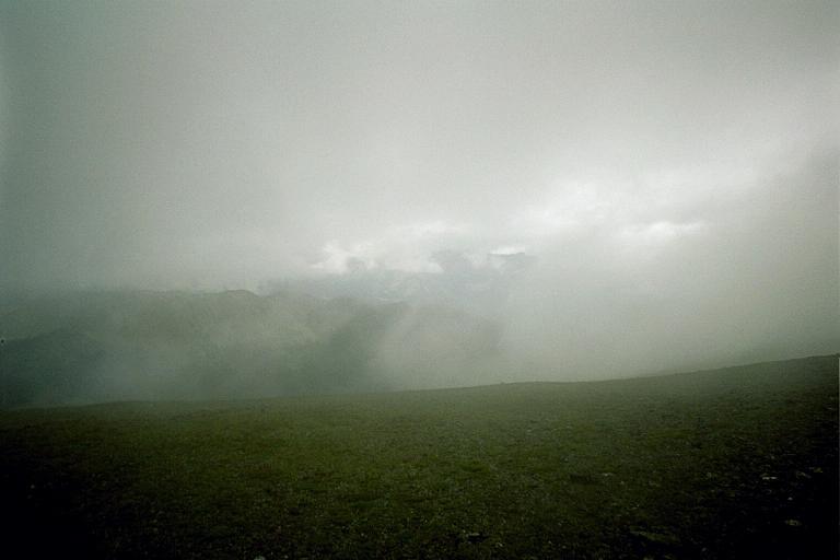
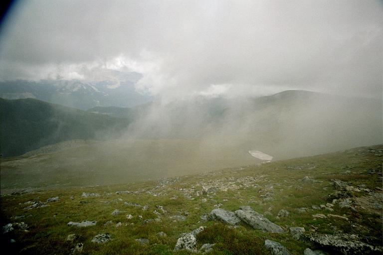
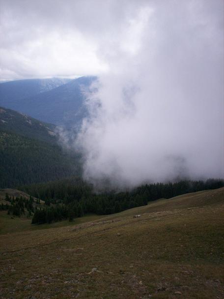
The group split up into three smaller groups, each hiking at their own rate. At times we would all stop and close up the gaps before continuing on. As we came to the final leg of the trip, the clouds were slowly rolling in. This was the final steep ascent without much of a trail to follow. We all battled our way up the slope. The wind was fierce. The clouds surrounded us. At times visibility was just a dozen yards!
Stubborn group. They weren't going to let the weather win. I really appreciated that, too. This was pretty cool.
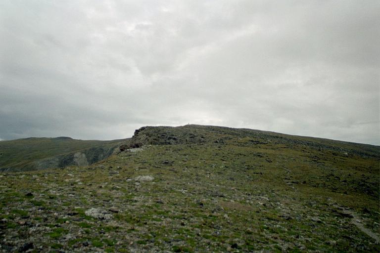
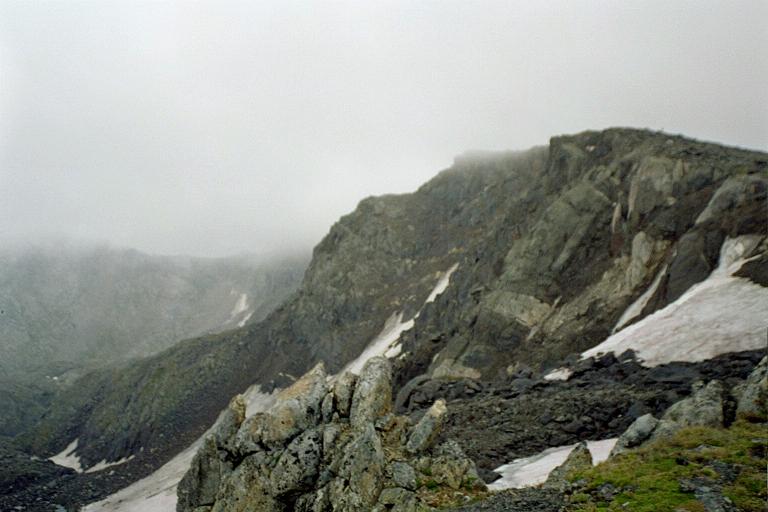
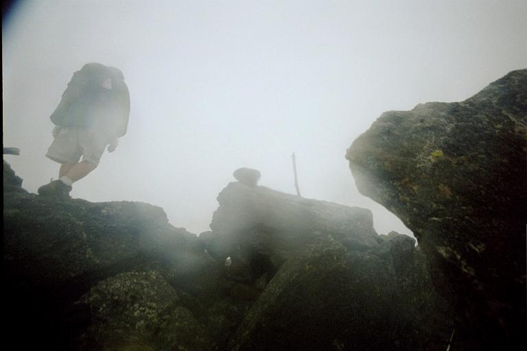
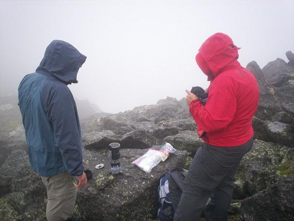
Eventually we made it to the top of Mount Ida. Standing on the very top was perilous to say the least. It's a small platform with a steep drop-off on three sides. It was wet and slippery and there was practically no visibility. Not everyone wanted to go up to the top. Some were just happy to take shelter behind the ledge and relax for a moment.
The group did not stay up at the top for long. It was far too cold for that, but there was a small tea party to celebrate the success before heading back down. Here we split up into two groups. One was going to head back while the second finished up the tea party, cleaned up the area and headed back as well.
Now, as you can see from the pictures, we were a well equipped group. We had radios, GPSes, cameras and a ton of other stuff. This is a very high tech group! Still, we managed to run into a problem. The first group to go down followed the ridge without checking their GPSes. We went up the ridge after all and going down the same ridge was the way back. It turned out that this was not the right answer.
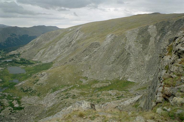
As it turns out, Mount Ida has two walkable ridges coming off it. One is north and the other is west. The group kept the ridge to their right as it was on their left heading up. After a while they no longer recognized the terrain. Radio communications with the second group was also alarming as the second group had already exited the clouds and could not see the first group ahead of them. The first group, on their part, were still in the clouds!
Synching up GPSes showed that the first group was about 500 feet lower and a mile further north than the second group. Getting everyone back together was simple with radios and GPS technology, but the first group had a major hike added to their return trip. It was back up the mountain and onto the correct ridge for a hike back.
Still, this was an incredible trip. I really enjoyed the hike, the visit up to the top of Mount Ida, which was a first for everyone, and even the adventure of getting lost. (Next time I'm holding on to a GPS!) It was a disappointment that we ended up in a cold cloud bank on top of the mountain, but that wasn't a big deal. We finally met the challenge and succeeded and that's worth quite a bit.
There are already talks about hiking Mount Ida again, in good weather, just to get good pictures from the top. Still, I got to have hot birthday tea at the top of Mount Ida. I'm one happy marmot!
| |